20186月18
Drone Application in Surveying and Beyond
学生活动
(English Version Only)
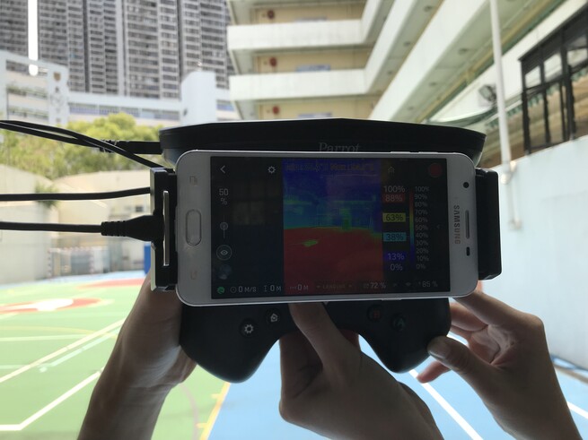
Following the rapid advancement in information technology, the application of drones in construction and surveying has grown dramatically in recent years. It has been proven that wide-ranged application of drones in construction and surveying includes but is not limited to site logistic planning, construction site inspections, project progress reports and quantifications maintenance inspections, thermal imaging recording as well as 3D mapping and indoor navigations.
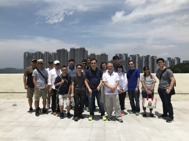
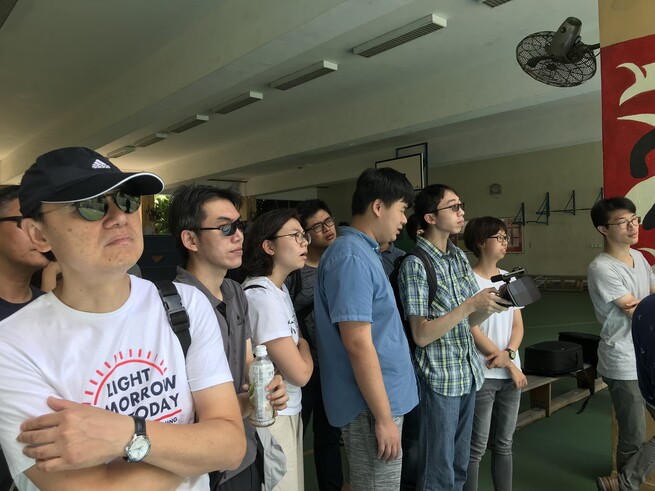
In this connection, a group of surveying students attended a special lecture and drone flying demonstrations offered by a professional General Practice surveyor, Sr WONG Yung Shing, at the Yu Chun Keung Memorial College No. 2, Pokfulam on 2 June 2018. With the experience of operating an integrated group of companies and specializing in surveying, aviation and unmanned aircraft systems, the speaker, Sr Wong, presented different type of drones in particular the key differences in the capacities and applications of Parrot FLIR drone and DJI FLIR drone in context of construction and surveying.
The speaker shared his valuable experiences and views on not only the current applications of drones in fields of construction and surveying, but also the possible enhancement and integration of information technology among drone, Building Information Modelling (BIM), Artificial Intelligence (AI), iCloud and smart construction in future.


